
Ground Penetrating Radar Systems of Florida
Ground Penetrating Radar Services (GPR)

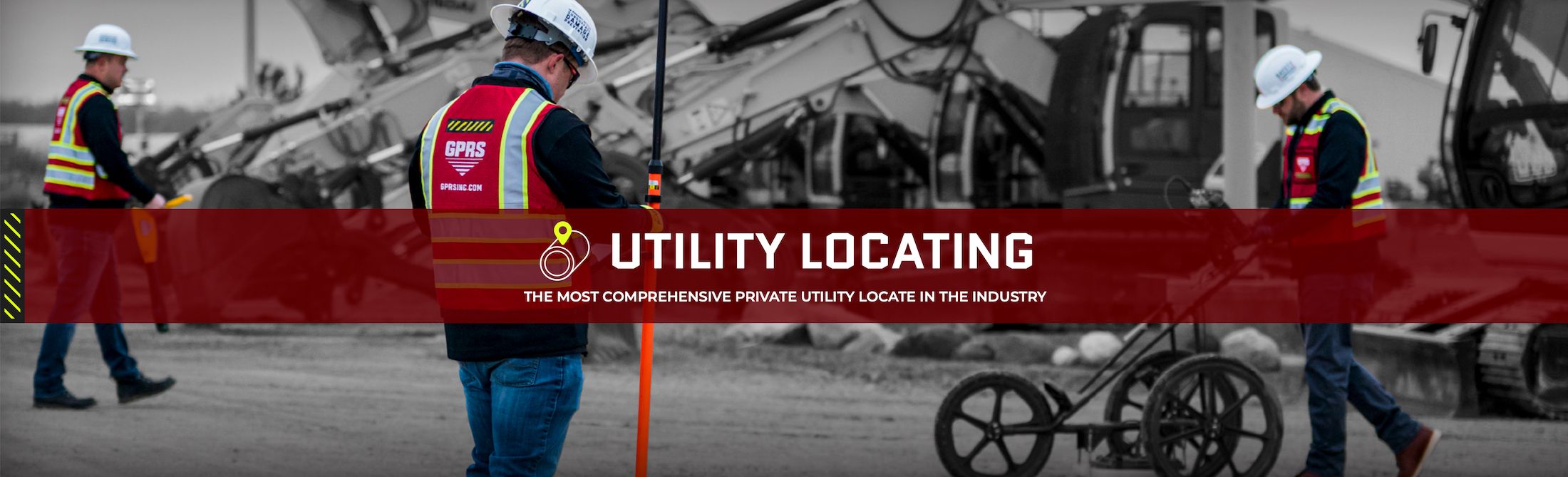
Utility Locating
Private utility locating is essential for any construction, excavation, or renovation project. While 811 One Call services identify public utility lines, they do not provide depth information or detect private utilities. Our private utility locating services utilize advanced technology, including Ground Penetrating Radar (GPR), Electromagnetic locators, CCTV video cameras, acoustic leak detectors, and more, to accurately scan for subsurface utilities. We provide depth information and GPS mapping to help prevent costly and dangerous utility strikes, ensuring the safety of all site employees and contractors. GPRS also offers complimentary .KMZ files for all our exterior utility locating projects.
 Florida")
VIDEO PIPE INSPECTION (CCTV)
Most pipe defects occur underground in buried pipes that can only be inspected through excavation or by using CCTV cameras in a Video Pipe Inspection (VPI). GPRS utilizes robotic crawler CCTV cameras, lateral launch cameras, and push cameras to document and assess water systems, drains, and perform sewer inspections without the need for costly excavation. Our NASSCO-certified WinCan VPI reports provide clients with the precise location, photos, videos, and maps of each defect, all cross-referenced and tagged with a defect severity level. This allows clients to visualize every inch of their water and sewer pipes and develop comprehensive repair and maintenance plans, enabling them to address pipe damage in the most cost-effective way possible.

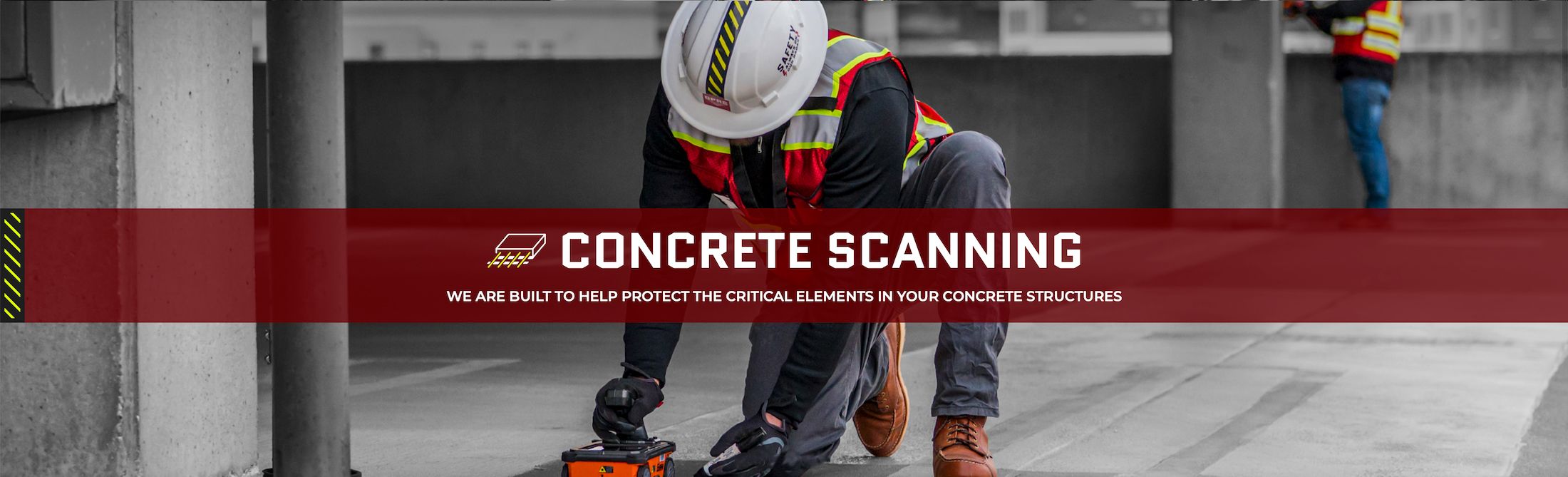
Concrete Scanning
Projects involving post-tension or slab-on-grade concrete carry the risk of costly damage or injury when coring or cutting into the slab. Rebar, conduit, and post-tension cables present significant strike hazards, each with its distinct Ground Penetrating Radar (GPR) imaging signature. GPRS offers concrete scanning services using GPR to precisely identify and map these hazards, ensuring there is no uncertainty about where it is safe to cut. Unlike concrete X-ray services, GPR concrete imaging does not require closing off sections of your site to avoid radiation. In most cases, your work can continue uninterrupted while we scan and locate slab reinforcement and conduits with 99.8%+ accuracy, allowing for safe cutting and drilling.

3D LASER SCANNING
To avoid costly change orders, clashes, and downtime in construction and renovation planning, hiring a professional 3D laser scanning company is essential. They provide accurate digital maps of as-built conditions, including detailed drawings, maps, models, and even a true digital twin.
GPRS' 3D Laser Scanning Services streamline the process by capturing as-built data with millimeter accuracy at up to two million data points per second. This technology produces point clouds, maps, CAD drawings, and 3D BIM models for industries such as engineering, design, construction, architecture, oil & gas, facility management, multimedia, historical preservation, education, healthcare, water, energy, and utilities.
We use advanced software to deliver a range of maps and models, including 3D walkthrough tours of your site.

Leak Detection
GPRS Leak Detection Services excel at quickly locating known leaks in municipal water or sewer systems and industrial facilities. We also offer proactive leak detection for domestic water and fire systems, and conduct Water Loss Surveys to identify issues before they become costly problems.
Our acoustic leak detection, enhanced by leak correlation, provides precise, real-time verification of active breaches. This can be integrated with our Video Pipe Inspection Services and utility locating to enhance the efficiency of commercial, industrial, and municipal water infrastructure and minimize unnecessary excavation. At GPRS, we are leaders in leak detection, supported by our 99.8% accurate underground utility locating process.

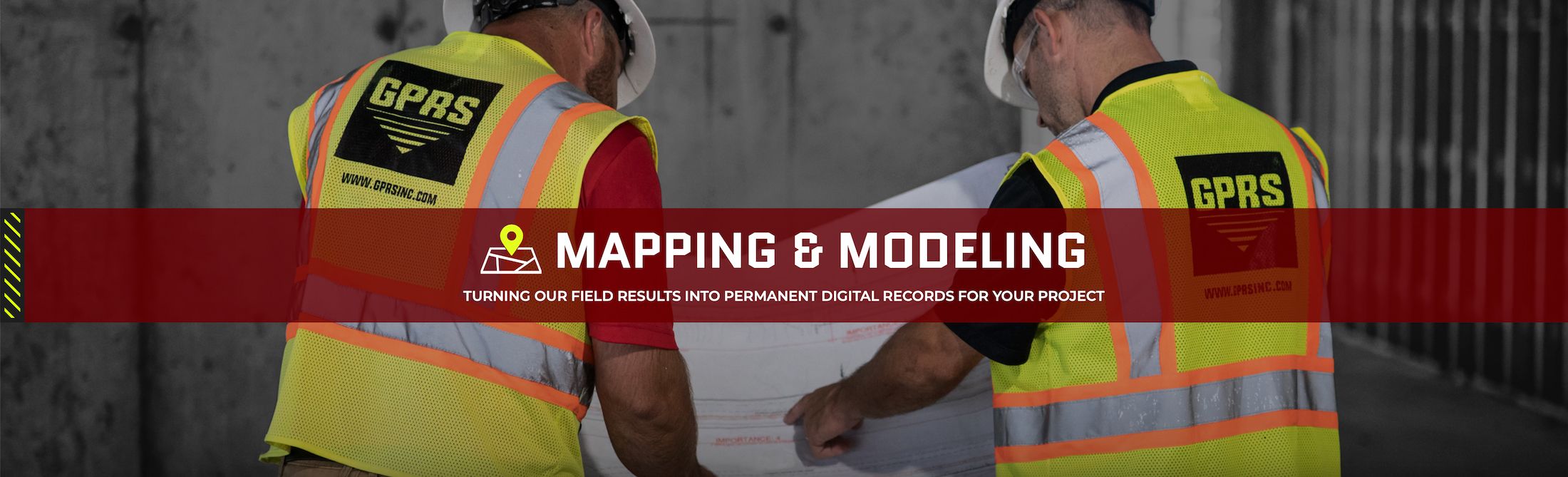
Mapping & Modeling
Accurate documentation is essential for complete facility visualization, which is why GPRS offers complimentary high-resolution maps in PDF, KMZ, and SHP formats with every outdoor utility locating project.
We provide fully integrated reality capture using 3D laser scanning, concrete scanning, outdoor and interior utility locating, CCTV Video Pipe Inspection, and drone imagery. This allows us to deliver point clouds, 2D & 3D CAD drawings, 3D BIM models, 3D mesh models, photogrammetry, and customized 3D BIM model walkthroughs tailored to our clients' needs.
GPRS is uniquely equipped to offer comprehensive top-down imaging, mapping, and modeling of any facility, both above and below ground, enabling us to fully Visualize The Built World™ for clients nationwide.
COMPANIES WE PARTNER WITH

Our Vision: 100% Subsurface Damage Prevention